A busy Sunday, so only time for a short stroll around Eccup reservoir. The inspiration for the walk came from www.walkingenglishman.com. This site has loads of ideas for walks, each described and documented with Memory Map routes available for download if you possess the right technology (I don't!) According to the site the route is 5.2 miles long. However, my newly acquired pedometer suggests that it is slightly shorter than this at around 4 miles. It took Gill and I just over an hour, which I guess equates to round about four miles. Anyway, I've recorded it at 4.17 (6.51 km).
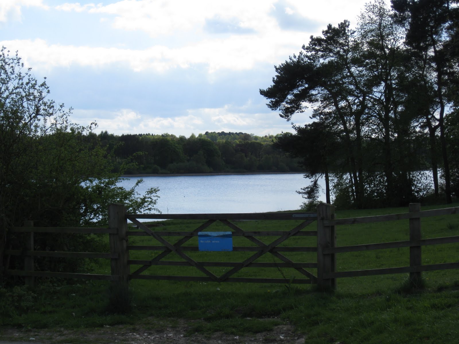
The route starts about five miles from where we live on Alwoodley Lane, just past Sandmoor Gold Course (GR 305408). Follow the signpost and you soon find yourself crossing the golf course before dropping down to the side of the reservoir. Thankfully, for us we managed to hit some brilliant sunshine and followed the well trodden route alongside Goodrick Plantation and, eventually onto Eccup Moor Road.
A short stride and you find yourself on the long straight road that leads towards the Treatment Works. At the far end of this the route is, again, well signposted and takes you past Owlet Hall and over the reservoir embankment. Just past the embankment turn right in front of the house and simply follow the path around the end of the reservoir eventually retracing your footsteps across the course.
A stroll rather than a ramble, with easy walking and no great exertion needed. However, a pleasant afternoon and it is good to be able to get out into the countryside so close to home.
Pictures (only a few) available form the link
No comments:
Post a Comment